
An urban environmental site assessment differs from a rural environmental site assessment in a number of ways. This post explores the differences between rural and urban ESAs and highlights data considerations when approaching site assessments in each setting.
Urban considerations
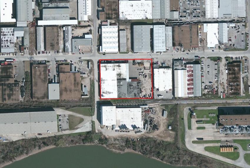
Many people would consider urban assessments to be traditional ESAs. In essence, the goal of an urban assessment is to identify any likely or confirmed forms of contamination that may have impacted the target property. There are a number of environmental data products used in virtually every site assessment, regardless of where the site is located – including database reports, historical aerials, and topographic maps. However, there are certain data products that are meaningful only when utilized in an urban context and provide little value in rural settings. Do you know which ones? If you said city directory searches and fire insurance maps, you were right!
City directories provide key information about the historical occupancy of a property by listing the surrounding streets and occupants for each street address. If your site is located far beyond any city limits, you will most likely receive a “no coverage” letter stating that nothing was found. This type of letter can technically still be beneficial to a rural ESA if you are required to consult a certain number of historical sources, but I wouldn’t expect to discover any “findings.”
Likewise, fire insurance maps (also known as Sanborn maps), are a powerful tool when conducting ESAs in urban areas. Sanborn maps were originally created for fire insurance liability assessments in the 1800s. Insurance companies would use the maps to evaluate fire insurance liability of a particular property and ultimately determine if they were willing to provide insurance for that location or not. By viewing Sanborns, you can see (among other things) the way an urban landscape has changed over time and determine which buildings contained features that may have led to contamination of a site. Similar to city directories, fire insurance maps are only created for urban environments and will provide little insight when conducting ESAs in rural settings.
Recommended environmental products for urban ESAs:
- Environmental database report
- Historical aerial imagery
- Historical topographic maps
- City directory search
- Environmental lien search
- Fire insurance maps
- Chain of title search
Rural considerations
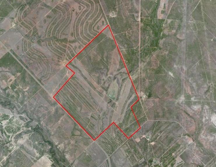
Site assessments performed in rural settings can be for commercial purposes like a wind farm, public utility station, or oil and gas field. In this post, I focus on rural assessments related to oil and gas environmental due diligence. Performing due diligence studies on rural lands is an important part of the development process. A rural site assessment can be implemented to investigate ecological surroundings and understand potential receptors in the area including endangered species.
Imagine a company is planning to drill a new oil well on an undeveloped piece of property. Unlike urban assessments, the goal of assessing this property likely goes beyond determining if previous activities resulted in contamination. Remember, this is an undeveloped, pristine piece of land. What are the chances that it is already contaminated? The chances are far lower that the rural property has recognized environmental concerns compared to an urban property in an industrial zone. Thus, oil and gas operators also generally seek to identify all potential receptors in the surrounding area so that they can initiate proper actions to ensure the safety of people and ecosystems should a spill or release ever occur. Many times an endangered species study is required before any construction equipment can be allowed on site. This is a proactive approach to environmental due diligence.
Threatened and endangered species are not the only receptors to consider in this context. It is also important to identify all reported active and historical water wells and any oil or gas wells in the vicinity of the site. Assume that a well is drilled and years later a leak or spill is discovered. At that point the responsible party would need to identify individuals who may be drinking from the potentially affected water source. People don’t like surprises, so it is best to perform the proper due diligence in the beginning so you can understand the surroundings and better manage potential future risks.
Recommended environmental products for rural ESAs:
- Environmental database report
- Water well report
- Oil/gas well report
- NEPA checklist
- Historical aerial imagery
- Historical topographic maps
I hope this post helps you better understand some of the similarities and differences between rural and urban ESAs. Thanks for reading!
Jordan Schmidt 
Editor
jschmidt@banksinfo.com