Professionals depend on Banks for accurate and easy-to-read environmental risk data reports and resources that adhere to the ASTM E 1527-21 standard for Phase I Environmental Site Assessment due diligence.
Our mission is to provide you with the most user-friendly and accurate Phase I database reports in the industry. The Banks quality assurance system saves environmental professionals time, effort, and money. All of our products are researched in house and we’re happy to connect you to the researcher directly if questions pop up on a specific report.
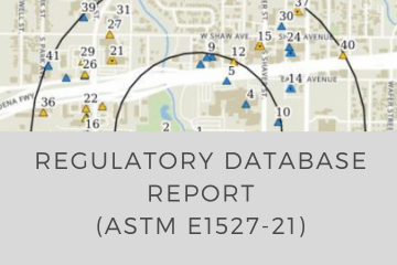
The Banks Regulatory Database Report
- Search any target area from point, line, or polygon
- Elevation data for target property and risk sites
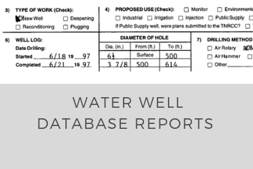
- Oil & gas and water wells within ¼ mile of site included
- High-quality soil/geology map and details
- Integrated hyperlinks for easy navigation
- Redesigned PST/LPST details for faster review
- Improved imagery, topo, and street basemap overlays
- ASTM 1527-21 compliant

