GIS Day 2021

To celebrate GIS day this year, we decided to take a deep dive into the coding and software libraries that drive end user applications (like ArcMap). Enjoy!

GIS and Software Libraries:

A geographic information system (GIS) is a complex technology that involves challenging operations like: relating index/geometry/attribute tables, performing set theory between geometries, raster (pixel) calculations and querying/editing attributes while maintaining the integrity of the underlying tables.

Continue reading
Posted in Analysis, GIS, Technology | Comments Off on GIS Day 2021

Dry Cleaning Regulations

Perchloroethylene (Perc) and petroleum-based solvents are two of the most notable cleaning agents used by dry-cleaning facilities across the country. In 2020, EPA finished its final risk evaluation of perchloroethylene and found “there are unreasonable risks to workers, occupational non-users, consumers, and bystanders…” Both classes of solvents are subject to state and federal regulations in order to prevent improper disposal of generated hazardous waste and air emissions.

Continue reading
Posted in Environmental data, Groundwater, Phase I ESA, Regulatory issues | Tagged , | Comments Off on Dry Cleaning Regulations

HazView – Mapped points for environmental hazmat and facility information

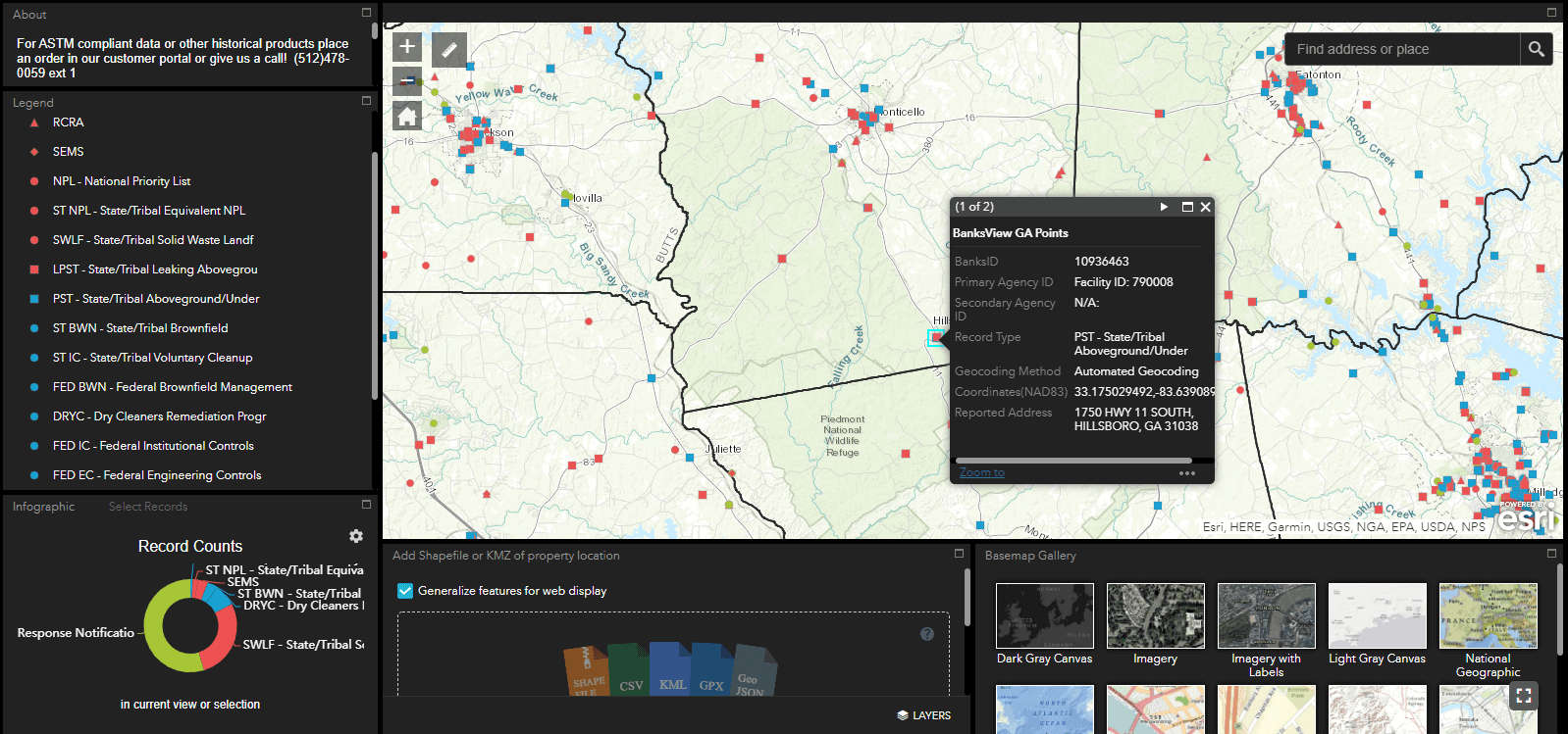
HazView - a free, Phase I data style viewer

Banks HazView is an innovative, full-featured GIS map application created by the Banks team to bring Phase I ESA style data right to your fingertips. We are excited to offer this new service free of charge for registrants.

Hazview Signup

Continue reading
Posted in Uncategorized | Tagged | Comments Off on HazView – Mapped points for environmental hazmat and facility information

Update on data resources during COVID-19 pandemic

Measures taken by government agencies to stymie the ongoing pandemic have resulted in unique situations across the country affecting consultants’ abilities to access public data. The subsequent building closures, skeleton staffs, and work from home orders mean that access to data may be slower or in some cases there may be limited or no access to public information. Keep reading to see which products may be affected.

Continue reading
Posted in Aerial photography, Chain of title, Environmental data, Industry news, Phase I ESA, Regulatory issues | Tagged , , , | Comments Off on Update on data resources during COVID-19 pandemic

Banks ENV Data + Quire

You spoke and we listened. Banks ENV Data is now integrated with Quire – the cloud based report writing application. If you are already a Quire user, choose the Banks option when ordering data for your next report and add your Banks ENV data seamlessly.

Continue reading
Posted in Analysis, Environmental data, Phase I ESA, Technology | Tagged | Comments Off on Banks ENV Data + Quire

Draw and Edit Feature Class in ArcGIS Pro

This is part 2 in our how-to series for ArcGIS Pro. Check out our previous post on georeferencing here: Georeferencing A Site Map

One of the most notable differences between ESRI’s ArcGIS Desktop and ArcGIS Pro is the process used to create new shapefiles and feature classes. Use the walkthrough below to learn how to draw your own polygon and create an editable feature class in ArcGIS Pro. Continue reading

Posted in Analysis, GIS, Technology | Tagged , , , | Comments Off on Draw and Edit Feature Class in ArcGIS Pro