
Water Well Inventory & Database Search
Water Well Reports – Available Nationwide
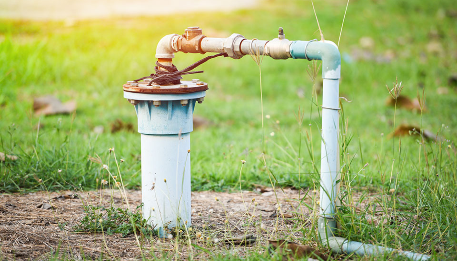
Identifying water well locations is critical when detecting potential sensitive receptors to satisfy regulatory requirements. Among other uses, water well database reports are a vital research tool when investigating leaking underground storage tanks, examining old dry cleaning facilities, or conducting oil/gas exploration activities.
At Banks Environmental Data, we compile both state and federal water well databases and deliver a clear, easy-to-read report designed for practical field use.
Each report includes current aerial imagery and a USGS topographic map. Scanned copies of the original drillers logs are provided when available.
Availability:
Reports are available in most states. Coverage is dependent upon state database availability and public records access. Our team will confirm data coverage for your project area prior to processing.
Enhanced Texas Reporting
To meet numerous state regulatory requirements, Texas water well reports include historical research obtained from well logs housed in the TCEQ Central File Room. Our GIS specialists meticulously locate and map all historical water well logs in the project area, producing one of the most comprehensive water well surveys available in Texas. Original driller logs are included within each PDF report when available.
Included within a Water Well Report
❋ Well Owner Name
❋ Well Completion Date
❋ Well Identification Numbers
❋ Well Type & Depth
❋ Well Location Coordinates
❋ Well Driller Logs (When Available)