
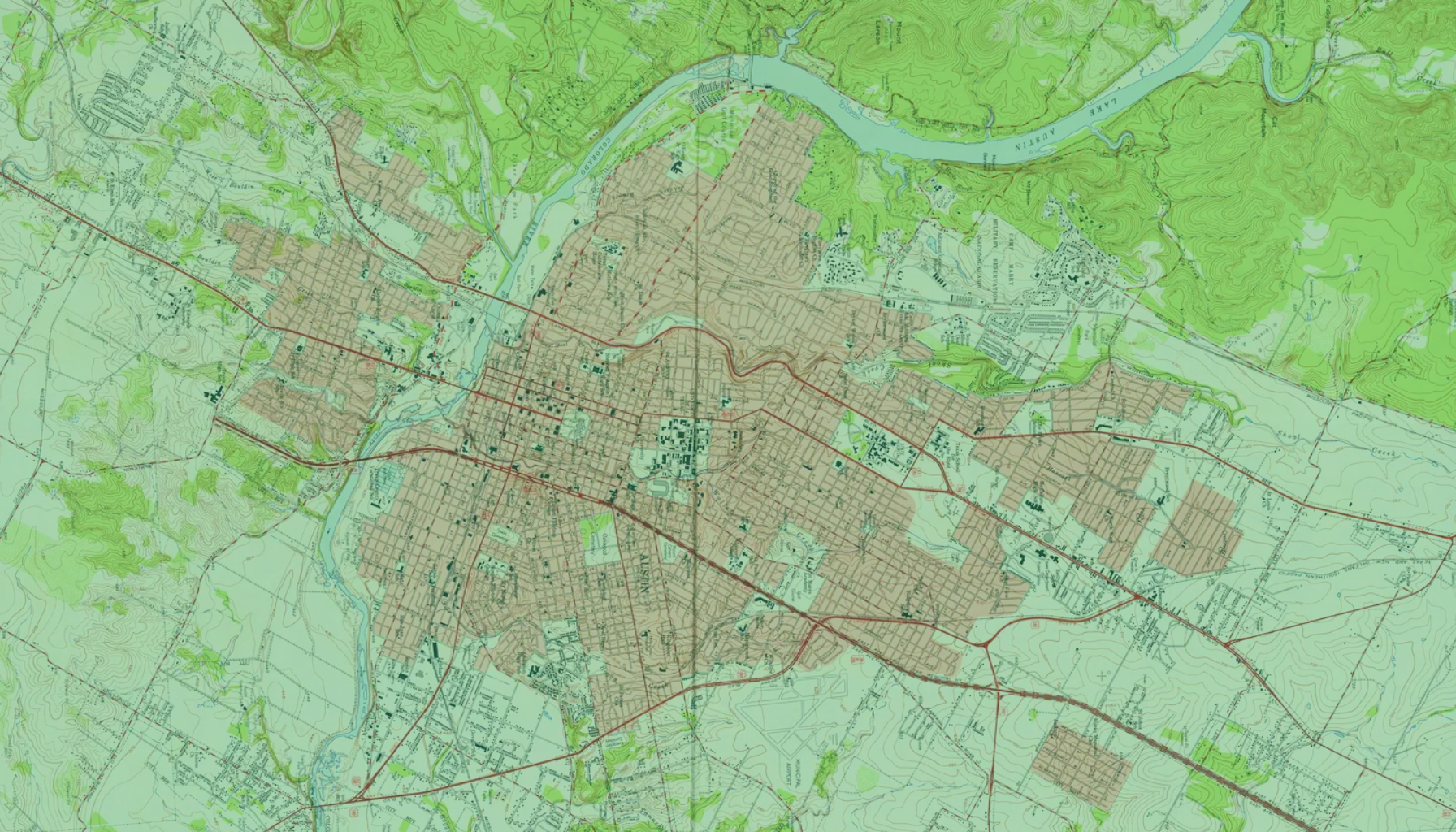
Historical USGS Topographic Maps
Historical topographic maps provide a detailed comparison of how your site once looked and the ways it may have been altered over a period of 20, 30, 50 – even 100 years. Historical topo maps assist in identifying changes in land use, provide geological information, and illustrate potential environmental concerns.
Included within Historical Topographic Map Package
At Banks, We Have Access to One of the Largest Collections of Nationwide Historical Maps in the United States.
❋USGS Historical Topographic Map
❋ Historical Coverage Range
❋ Standard Color Format
❋ Flexible Deliverables
❋ Site Boundaries Included
❋ Date & Quadrangle Reference
❋ Coverage across the United States