
Historical Topographic Maps
Historical research is often easiest when you can simply look at the evidence. Banks provides historical aerial photographs, topographic maps, and fire insurance map research to help environmental professionals understand previous site conditions, development patterns, roadways, structures, and land use.
USGS topographic maps provide another view of a site's history, combining land development with geographic and topographic context.
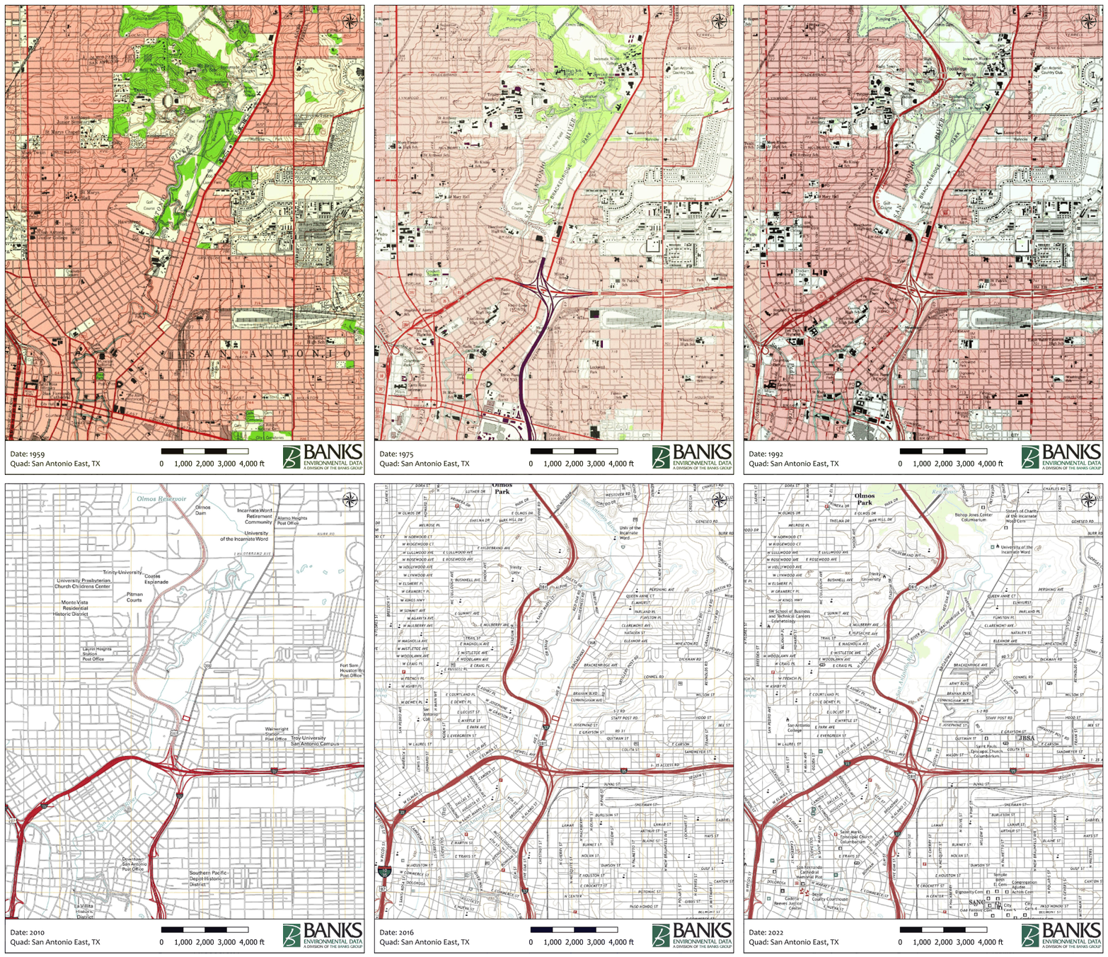
Banks searches available historical USGS mapping and transforms each map to center and highlight the target property. In older urban areas, available coverage can extend back into the 1800s.
Historical topos are useful for identifying changes in roads, railroads, buildings, waterways, surrounding development, elevation, and other mapped features over time. They are a standard component of many Phase I ESAs and an excellent complement to historical aerial photography.