
Historical Aerial Photographs
Historical research is often easiest when you can simply look at the evidence. Banks provides historical aerial photographs, topographic maps, and fire insurance map research to help environmental professionals understand previous site conditions, development patterns, roadways, structures, and land use.
Historical aerial imagery gives you the most direct visual record of how a property has developed over time.
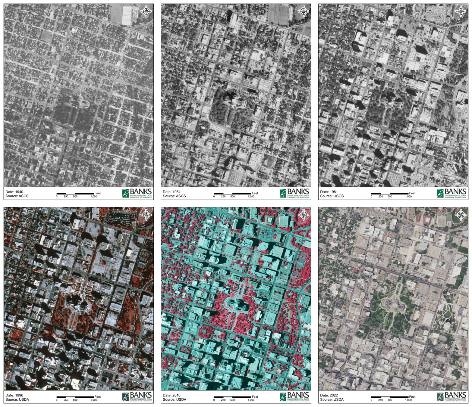
Banks searches imagery repositories across the country along with our own extensive historical archive. We normally provide at least one image per decade, searching back through the 1940s where coverage is available and as far as the historical record allows.
Each image is manually georeferenced, centered on the target property, and cleanly tiled for straightforward comparison between years. We do not depend on automated image alignment.
Historical aerials can reveal changes in buildings, disturbed areas, roads, storage areas, industrial activity, drainage, land clearing, and other conditions that may no longer be visible today.