
The U.S. Geological Survey and their predecessors have been providing topographic maps of the United States for over 125 years, and have worked to integrate new technologies into their practices along the way.
According to their official website, the U.S. Geological Survey, more commonly known as USGS, was established on March 3, 1879 through a bill signed at the end of the final Congressional session by President Hayes. Since then, USGS programs have focused on recording geologic data on all regions of the U.S. across many disciplines, with topography being one primary focus. USGS has provided topographic maps at varying scales, with the most familiar being the 1:24,000 or 7.5 minute quadrangle map. Throughout time, cartographers at USGS have migrated from hand-drawn maps pulled from field sketching in the late 1800s, to utilizing early electronic instrumentation in the mid-20th century, and are now able to create detailed maps using GIS.
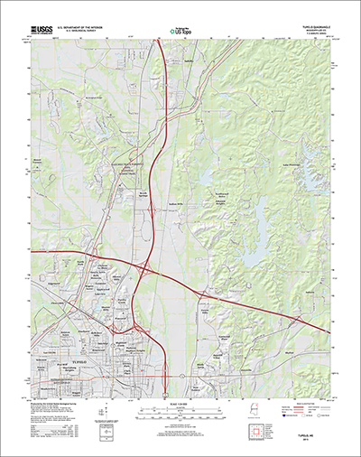
Sample Topographic Map from USGS.gov
This summer, USGS has debuted a new program, topoView, which offers unprecedented accessibility to these topographic maps, or topos, through an easy to use online interface. TopoView allows users to search topos from 1880-2010 anywhere in the U.S. using a sliding timeline bar and straightforward map of the country. Know the exact location you’re looking for, or scale you would prefer? You can also customize your search by entering that information in the respective search areas. If you encounter any issues along the way, USGS has conveniently provided an introductory video to walk you through the process here.
Hannah Weaver
Program Manager
Aerials & Environmental Research
hweaver@banksinfo.com