
 During the 2016 Texas GIS Forum hosted by TNRIS, Dr. Nazgol Bagheri made history as the first female keynote. Dr. Bagheri is a trained architect and urban planner currently serving as an Assistant Professor in Department of Political Science and Geography at the University of Texas at San Antonio. In addition to being the first woman keynote, Dr. Bagheri is an innovative critical feminist geography scholar who is revolutionizing the field of GIS. In contrast to many of the sterile, data driven practices used in modern GIS, Dr. Bagheri’s work highlights how GIS can offer an alternative visualization of space. She combines geography and gender theories together in order to visualize gender relations and their effect on everyday geographic patterns. Continue reading
Innovations in Geography – Understanding Communities through GIS
Happy Thanksgiving from Banks Environmental Data
 In honor of a holiday best known for turkey, stuffing and mashed potatoes we decided to bring a bit of history to the table.
The first Thanksgiving was in 1621 – almost four centuries ago. During this time, explorers were actively discovering the Americas and cartographers were busy hand drawing maps from the explorer’s notes. These maps had some serious flaws. For example, they showed California as an island floating in the Pacific and depicted the great lakes as a large river. Despite these and other incorrect assumptions, the early maps were surprisingly detailed and helped facilitate further European settlement.
We’ve collected a few maps of Colonial America from the Library of Congress and provided them below. Now is a good time to pause and take a moment to be thankful for the invention of GPS. Enjoy!
What is Emergency Response Notification System (ERNS)

According to EPA, Emergency Response Notification System (ERNS) is the national database used to store information on releases of oil and hazardous substances. Before the establishment of the ERNS program, there was no centralized source of information capable of displaying all oil and hazardous substance releases that were being reported to the various offices of the federal government. ERNS provides a comprehensive, readily available method to collect reports and assess potential hazards across multiple federal agencies.
The Global Positioning System (GPS)
A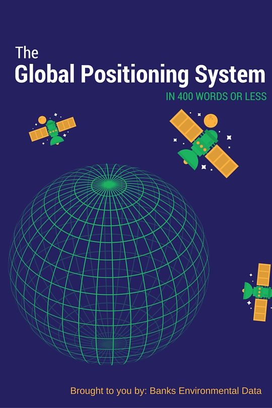 s most of us are aware by now, the Global Positioning System (GPS) is the omnipresent force that allows our smartphones and other devices to know where we are located on the globe. It is used in navigation, ecology, advertising, city planning, the military, and a variety of other industries. GPS has become such a presence in our lives that, like oxygen, we hardly ever think about how it works.
GPS is composed of three main parts: the satellites in space, control stations on the ground, and the people using GPS equipped devices. The satellites whirl overhead sending out a constant signal to the earth that tells our devices where each satellite is currently located. If one of these satellites moves out of orbit or needs maintenance of any kind, the control station on the ground can make the necessary adjustments. Finally, our phones and other types of GPS receivers interpret the satellite signals and we are given our location in real time.
Locating Water Wells from Driller’s Reports
 Whenever a water well is constructed, the driller is typically required to report details about the well on a driller’s log, or driller’s report. These logs include everything from date and depth drilled to location and lithology. Once the log is completed, it is submitted to the state environmental agency for processing. Sometimes state agencies will map these records. Otherwise it’s up to us to sleuth them out! After all, a well log is useless if you don’t know where the well is located. Continue reading
Historical Maps and Aerials: Looking to the Past to Plan for the Future
With the innovations in satellite and drone technology in recent years, procuring highly detailed aerials and topographic maps of a site is becoming easier than ever. Current, high-quality maps and imagery can be used to help farmers identify trouble spots on their land or property developers plan a new neighborhood. But what about all of the historical resources? In the United States, there are aerial photographs available for many areas as early as the 1920s. Topographic maps have a history as old as the country itself. Continue reading