
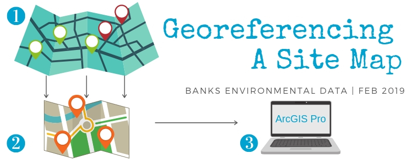
There are endless tips and tricks you can learn when using GIS software to increase efficiency and simplify your workflow – use the walkthrough below to learn how to georeference a site map (or other image files) using ArcGIS Pro.
There are endless tips and tricks you can learn when using GIS software to increase efficiency and simplify your workflow – use the walkthrough below to learn how to georeference a site map (or other image files) using ArcGIS Pro.
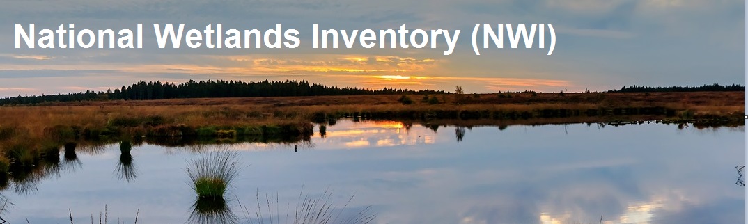 America’s wetlands provide tourism revenue, drinking water maintenance, natural disaster buffer zones, shoreline erosion control and invaluable ecosystem services. The productivity of wetlands ecosystems rivals rain forests and coral reefs. Wetlands account for a mere 5% of land area in the contiguous United States, but provide habitat and protection for one third of threatened and endangered species. Continue reading

Millions of people have been affected by Hurricane Harvey, and many more are looking for some way to help. Information is needed on the effects of the damage so that officials can move forward with coordinating recovery efforts. Organizations such as GISCorps, Humanitarian OpenStreetMap Team, and Tomnod are among the groups trying to fill in the gaps.
 NEPA, or the National Environmental Policy Act, has been an essential part of the EPA since it was signed into law in 1970. As one of the first major environmental laws created in the United States, NEPA has been described as the environmental equivalent of the “Magna Carta” . The main goal of NEPA is to use all practicable means to create and maintain conditions under which man and nature can exist in productive harmony. In order to achieve this goal, NEPA requires federal agencies to assess the environmental and social factors of their proposed actions, including making decisions on permit applications, adopting federal land management plans, and constructing highways or publicly-owned facilities. In addition, NEPA utilizes Environmental Assessments and Environmental Impact Statements to investigate the probability of impacts from alternative courses of action. Continue reading

Texas Sunset Commission www.sunset.texas.gov
Earlier this year, for the third time since 2010, the Sunset Advisory Commission of the 85th Texas Legislature has completed its review of the Texas Railroad Commission. It concluded that no major structural changes were necessary but emphasized improvements to the RRC’s oil and gas enforcement program instead. Continue reading
To better serve our customers, we have combined Banks Geomapping Solutions with the Environmental Data division so many of you already know and love. With this merge, we are excited to announce that Banks Environmental Data is now offering a full suite of custom GIS products to meet your project needs.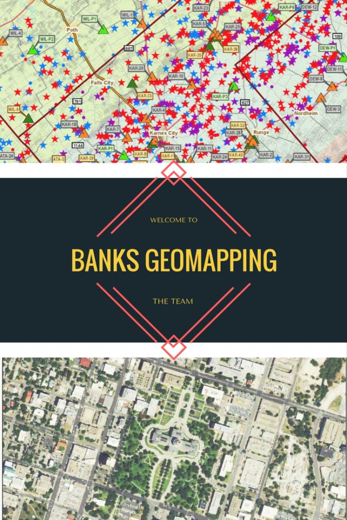
What does this merge mean? Now we are a one-stop shop for not only all of your environmental data needs, but custom geomapping projects as well. We can design, print and ship custom site and project maps for any number of uses including project planning, presentations, and wall displays for home or office. We are able to print up to 42 sq. in and mount on a variety of materials. In addition to custom hardcopy maps, we can also provide digital data in shapefile or Google KMZ format so you can easily view or analyze the data in ArcGIS or Google Earth.
We are also excited to now offer SWD permit maps for the Texas Permian Basin, a great resource for anyone interested in oil and gas activity in that region. Each of these maps tracks all pending permit applications filed with the Railroad Commission, as well as permitted saltwater disposal well locations and P-18 water/skim volumes. These high quality, semi-gloss wall maps are 42” x 48” so you can effortlessly discern facility locations, and the data is updated quarterly so you can always stay in the know. Our most current update published first week of April. Digital data packages are also available upon request.
Hannah Weaver
Division Director
Banks Environmental Data
hweaver@banksinfo.com