
A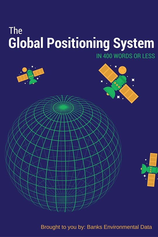 s most of us are aware by now, the Global Positioning System (GPS) is the omnipresent force that allows our smartphones and other devices to know where we are located on the globe. It is used in navigation, ecology, advertising, city planning, the military, and a variety of other industries. GPS has become such a presence in our lives that, like oxygen, we hardly ever think about how it works.
GPS is composed of three main parts: the satellites in space, control stations on the ground, and the people using GPS equipped devices. The satellites whirl overhead sending out a constant signal to the earth that tells our devices where each satellite is currently located. If one of these satellites moves out of orbit or needs maintenance of any kind, the control station on the ground can make the necessary adjustments. Finally, our phones and other types of GPS receivers interpret the satellite signals and we are given our location in real time.
Interestingly, the Global Positioning System is one of the only utilities available worldwide with no direct costs for the user – it’s basically free. Instead, the system is paid for by American tax revenues and is operated/controlled by the 50th Space Wing, housed at Schriever Air force Base, Colorado. The United States Coast Guard operates and maintains the Navigation Information Service for civilian GPS users. Furthermore, U.S. law and policy require civilian GPS services to be provided on a continuous, worldwide basis, free of direct user fees in perpetuity!
Reliable GPS for civilian use has only been available since May 2000, when President Clinton directed the program to discontinue its use of ‘Selective Availability‘, or SA. SA was a method used by the United States to intentionally degrade and limit the precision of civilian GPS capabilities for national security reasons. Once SA was turned off, the Global Positioning System became a reliable tool that has enabled and encouraged the rapid development of information platforms such as Google Maps, ESRI ArcGIS, and virtually every app currently installed on our smartphones.
For more information, GPS.gov is a surprisingly thorough resource that describes the Global Positioning System program and everything that goes into it.
Ian Holt
Program Manager – Water Wells
iholt@banksinfo.com